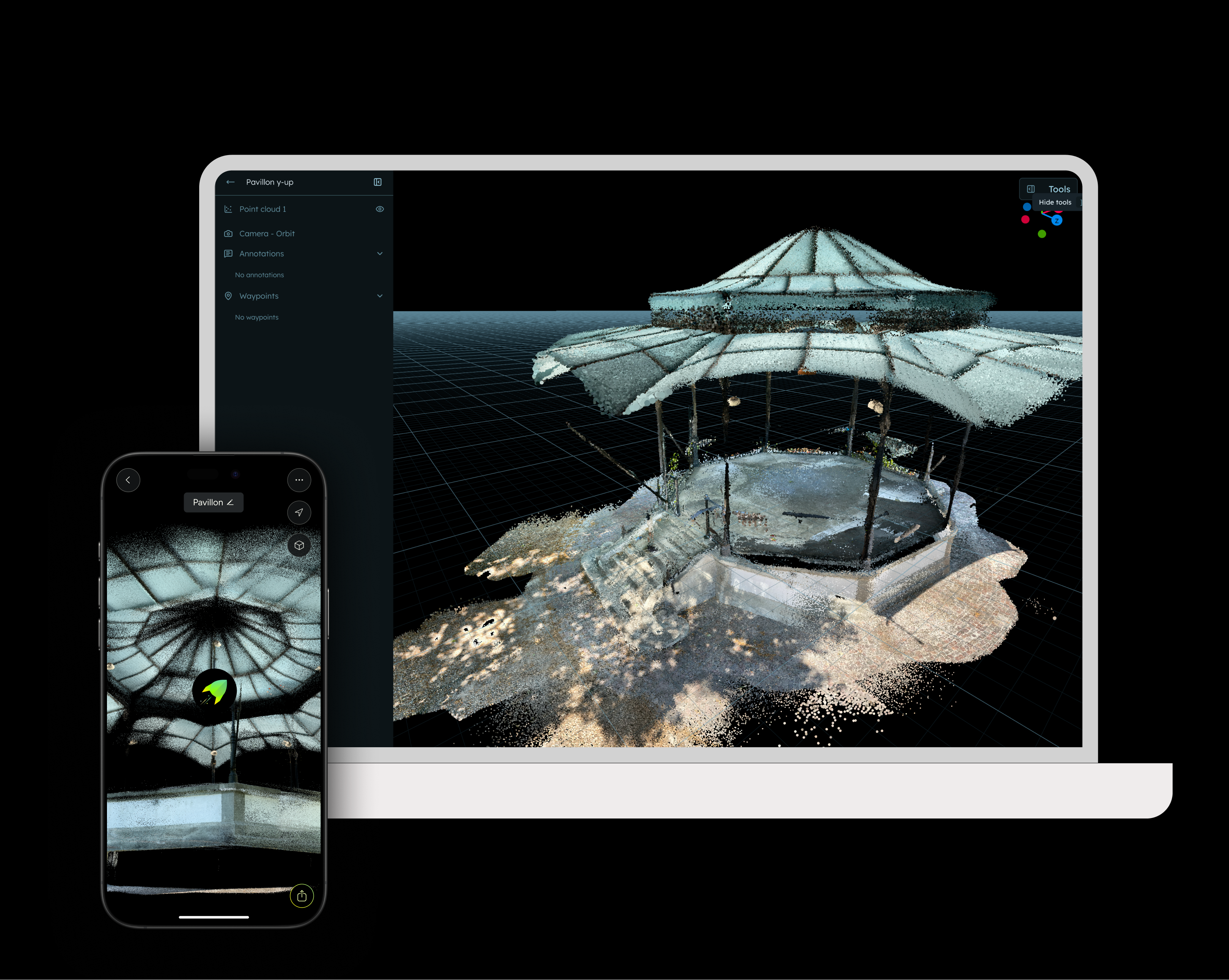
How to get started
Capture the location with MAVO 3D, check out some
3D scanning best practices and save your scan.
Connect MAVO 3D to your
Blurry account and upload your scan files.
Start 3D scanning
Download MAVO 3D on the App Store and capture your first project today.
Testing this new Blurry integration requires exporting your 3D scan project in PLY (which is available in the free plan) or E57, LAS, PTS/PTX which are available in MAVO 3D’s
Professional plan.
Start your 7-day free trial to get access to these export options.
Try Blurry
Register a new account and explore the integration.
About Blurry
Blurry is a cloud based file system for large scale reality capture data. It brings point clouds, Gaussian splats, images, videos, and documents together in one place, accessible to your team, project stakeholders, and AI agents.
FAQ
Blurry offers a generous free tier to get started.
Yes, MAVO 3D uses the LiDAR sensor built into iPhone Pro and iPad Pro to deliver cm-range accuracy on site. It’s used by architects, surveyors, and construction professionals for as-built documentation, floor plan creation, and site verification. Workflows that rely on precise results.
MAVO 3D requires a LiDAR-equipped device: iPhone: 12/13/14/15/16/17/18 Pro & Pro Max
iPad Pro: Starting with the 2020 model & all M-series iPad Pros (M1, M2, M4, M5).
These models include Apple’s LiDAR sensor, a light-based depth measuring sensor that MAVO 3D uses to capture and process high-accuracy 3D point clouds.
You can calculate with approximately 1min scan time / 8m2. It depends on how much you have to move around objects. In our projects we are usually faster than this estimate.
If you want to reprocess or upsample your scan later, save a MAVOB (MAVO Backup) file locally or to some other file storage online, such as
Nextcloud. This preserves all RAW data for future use.