What is SLAM-based scanning?
Sep 08, 2026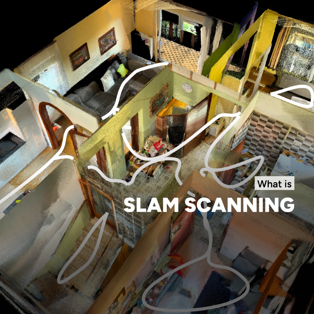
Mobile 3D reality capture solutions, like MAVO 3D use SLAM-based scanning technology (Simultaneous Localization and Mapping) to combine LiDAR and camera data with continuous position tracking.
As you move through an environment, SLAM determines where the device is and uses this information to place the captured data correctly in 3D space, while simultaneously building a 3D map of your surroundings.
SLAM scanning is especially useful for fast reality capture processes. Compared to static terrestrial laser scanner (TLS), SLAM-based scanning aligns the point cloud during the capture process, reducing the time needed to register the individual scans afterwards.
What are the challenges of SLAM scanning?
One of the main challenges however lies in this automatic creation of the 3D reconstruction. While you move through the site, the system continuously has to determine where the new measurements belong.
Even small inaccuracies in position and orientation can build up over time, causing what is known as drift. This can lead to incorrect geometry in the final 3D model, such as double walls or tilted floors.
How does MAVO 3D address the SLAM scanning challenge?
MAVO 3D performs drift correction in two steps, first the point cloud gets cleaned and registered in real-time during scanning. Secondly as a post-scan optimization step, to improve the 3D reconstruction by analyzing all the captured data from the LiDAR sensor and the camera feed and compare it with the device’s movements and walking path (trajectory).
This step is essential and a major differentiator between mobile scanning apps on the market. A lot of research and fine-tuning has to go into the drift correction pipeline. The better the algorithm is trained, the better the 3D model quality is.
What does it do?
MAVO 3D is using our highly specialized core algorithm, combining state-of-the-art registration methods to identify deviations. If deviations are detected, the system is correcting the points and reducing common artefacts, such as double or tilted walls or ghosting points.
An effective drift correction makes sure, that the beginning and end of the scan is aligning correctly and the spatial relationships remain accurate throughout the model.
How to do it in MAVO 3D?
For the optimizations, you need to capture the site with raw data enabled.
After scanning, start an optimization process and let our pipeline do the calculations. Depending on the scan size and quality of raw data it might take a while. The process runs fully autonomic in the background and returns the optimized point cloud directly in the app when finished.
Getting started
Looking for a robust 3D scanning solution, built for reliable results? Download MAVO 3D on the App Store.
Want to know more?
Talk to a 3D scanning expert.
Follow us on YouTube / @madvoxel