Case Study
From physical space to 3D model
How CREM & FM teams can digitize buildings fast with MAVO 3D.
Case Study
How CREM & FM teams can digitize buildings fast with MAVO 3D.
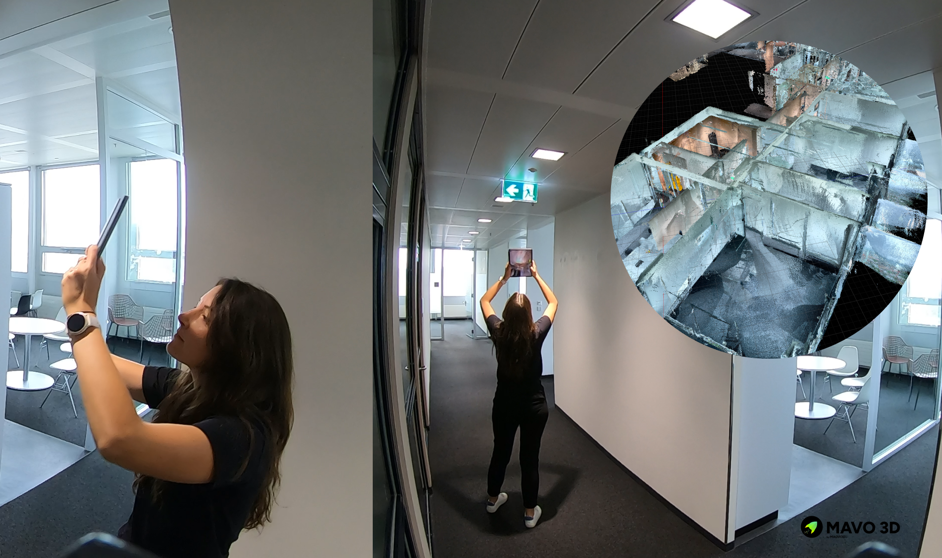
We scanned an entire office floor, including the rooftop terrace and produced an accurate, true-to-scale 3D model for the facility and real estate management team.
The model is now used to showcase available office spaces for prospective tenants. Beyond leasing, it serves as a spatial foundation for future digital twin workflows, connecting structural data with building sensor data.
MAVO 3D makes large-scale 3D capturing accessible for any team. cost-efficient, deployable across remote locations, and built for teams that need to rely upon up-to-date building data without specialist equipment.
MAVO 3D requires a LiDAR-equipped device, such as:
iPhone: 12/13/14/15/16/17/18 Pro & Pro Max
iPad Pro: Starting with the 2020 model & all M-series iPad Pros (M1, M2, M4, M5).
These models include Apple’s LiDAR sensor, a light-based depth measuring sensor that MAVO 3D uses to capture and process high-accuracy 3D point clouds.
Dedicated scanners from Leica, NavVis, Trimble, Faro and others are built for survey-grade precision, but they also require significant investment, specialist operators and lenghty setup times.
Powered by our own MAVO Core algorithm, we process sensor and camera data in a way that makes MAVO 3D the only iPhone Pro and iPad Pro LiDAR app capable of scanning across a broad range of environments and scan sizes. We also apply loop closure methods to clean up your point cloud after scanning. Which is by the way, the biggest technical challenge for SLAM-based mobile solutions on the market, including those from established players.
Our MAVO 3D users capture detailed interior rooms, multi-storey buildings, exterior facades and outdoor construction sites. Use cases include as-built doucmentation, floor plan creation and volume calculations in the field.
Where dedicated scanners are the right call for the highest-precision survey work, MAVO 3D closes the gap for professionals who need fast, reliable, and flexible 3D capture without specialist hardware.